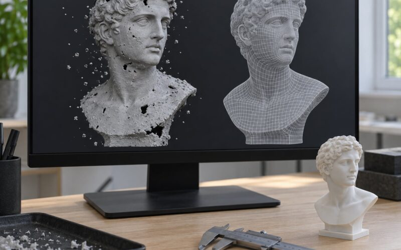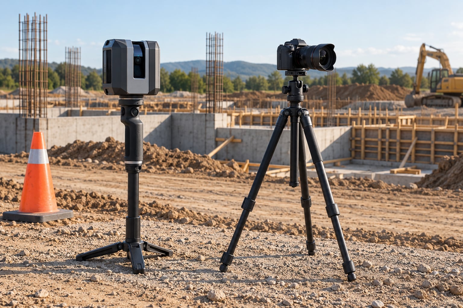
If you are weighing lidar vs photogrammetry for site capture, the difference is not a quality ranking but a choice of output. Lidar fires pulsed lasers at the scene and measures the time each pulse takes to return, producing a dimensionally accurate point cloud that works in darkness and through vegetation. Photogrammetry reconstructs geometry from many overlapping photos, producing a colour, textured mesh quickly and cheaply, but only if the light and the surface texture cooperate.
Pick lidar when the deliverable is a measurement: bare-earth terrain, stockpile volumes, as-built dimensions, penetration through trees. Pick photogrammetry when the deliverable is something people look at or fly over: progress documentation, marketing visuals, a textured model for a BIM or digital twin workflow. On most real jobs the honest answer is to use both, one for the interior and one for the exterior.
Table of Contents
- Lidar vs Photogrammetry for Site Capture at a Glance
- How Lidar and Photogrammetry Capture a Site
- Accuracy and Measurement Precision
- Is lidar more accurate than photogrammetry for site capture?
- Accuracy tolerance by deliverable
- Ground control, RTK and PPK
- How Fast Can You Capture a Site?
- Vegetation, Lighting, and Difficult Terrain
- Vegetation and bare earth
- Lighting, shadows and low light
- Reflective and low-texture surfaces
- Equipment, Software, and Processing Costs
- What Outputs Can You Create?
- Which Should You Choose?
- Frequently Asked Questions
- Is lidar more accurate than photogrammetry for site capture?
- What is the cheapest way to create a 3D model of a site?
- Can photogrammetry work through trees and grass?
- Do I need GPS coordinates for lidar or photogrammetry?
- Do I need lidar for 3D scanning?
- Conclusion
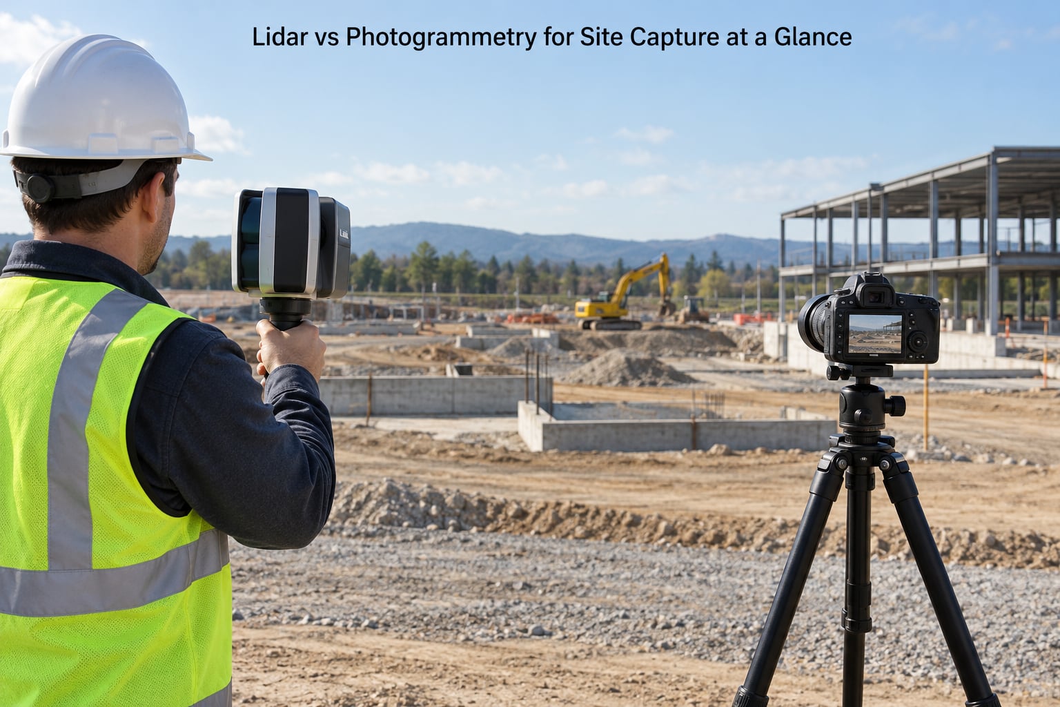
Lidar vs Photogrammetry for Site Capture at a Glance
| Criterion | Lidar | Photogrammetry |
|---|---|---|
| Accuracy | Distances measured directly, typically a few millimetres on terrestrial scanners without any ground control | Relative accuracy is excellent; absolute accuracy depends on GNSS and control points |
| Vegetated ground | Some pulses reach the soil, so you can classify bare earth from returns | Leaves and grass fill the surface with holes and noise |
| Low light and shade | Works at night and indoors with no added lighting | Fails without good, even light; motion blur ruins long exposures |
| Colour and texture | Greyscale point cloud unless a camera is mounted alongside the sensor | Photorealistic colour and texture baked into the mesh |
| Field capture speed | Fast for open ground, slower where the operator has to plan scan positions around occlusions | Fast in the air, but you fly more passes and shoot hundreds or thousands of frames |
| Indoor use | Handheld and mobile mapping systems are built for corridors and rooms | Drones cannot legally fly indoors, so a camera means walking shots |
| Typical outputs | Point cloud, bare-earth surface, contours, classified vegetation, distance and volume | Textured mesh, orthophoto, dense cloud, CAD-ready surfaces, site plans |
| Data volume | Heavy: large point clouds, moderate photo load | Heavy in a different way: huge image sets and dense reconstruction |
| Operator skill | Scan planning, target placement, registration and control take practice | Flown or walked capture is quicker to learn; processing is the hard part |
| Where the cost sits | Hardware, training and processing software | Cameras are cheap, so the cost sits in labour, processing time and rework |
How Lidar and Photogrammetry Capture a Site
Lidar is an active measurement. The sensor emits a laser pulse, times the round trip at nanosecond resolution, and converts that flight time into a distance using the speed of light. Every pulse that comes back is one point with an x, y and z coordinate, plus an intensity value that helps separate surfaces.
Because the sensor supplies its own light, it does not care whether it is noon or midnight, and it only needs a line of sight to the surface it wants to measure. Terrestrial and handheld units scan a building from the ground; airborne units fly a grid over terrain; mobile mapping systems walk through a building while SLAM software tracks position and stitches the scans together in real time.
Photogrammetry is passive measurement. A camera takes many overlapping photographs from different positions, software finds matching features in each image, and triangulates their positions in 3D space. That process, structure from motion, produces a sparse point cloud, which is densified into a dense cloud and then reconstructed into a textured mesh and an orthophoto.
Scale in a photogrammetric model comes from two places: the lens and sensor calibration, and anything that ties the model to a known coordinate. That second part is where ground control points or RTK and PPK GNSS come in. Without either, the model may be beautifully correct in shape and tens of metres out of place.
Accuracy and Measurement Precision
Lidar measures distance rather than inferring it, which is why terrestrial scanners quote figures like 2 to 4 millimetres at ranges of 60 metres and point collection rates in the millions of points per second. Those numbers are close to independent of the scene, because there is no image matching step to fail.
Is lidar more accurate than photogrammetry for site capture?
Not automatically, and this is where most comparisons go wrong. On hard surfaces such as concrete, asphalt, gravel or bare rock, photogrammetry flown with RTK or PPK and tied to a few well-measured ground control points routinely matches or beats a lidar survey, and experienced drone surveyors will tell you the same. Where lidar pulls ahead is vegetation, water, dark surfaces and anything where the camera cannot find matching texture.
Accuracy tolerance by deliverable
Start from the drawing you have to produce, not from the sensor you happen to own. Visual progress documentation needs nothing better than a hand-tape. As-built drawings and prefabrication models need roughly 10 to 20 millimetres. Scan-to-BIM and clash detection need about 5 to 10 millimetres. Topographic and volumetric work, where you are measuring stockpiles or setting out levels, is where survey-grade tolerance and independent check points start to matter, and where the distinction between the two methods widens.
Ground control, RTK and PPK
Control is what turns a good capture into a defensible survey. Mark targets on stable, unambiguous features, spread them around the site rather than clustering them, survey them independently, and hold a few back as check points you never use in the adjustment. A capture with four to six good control points and two or three independent checks will tell you whether you met tolerance, and ground control mistakes are the most common reason a site capture fails regardless of which technology produced it.
How Fast Can You Capture a Site?
Lidar is fast in the way that matters for coverage. A handheld scanner walking a site collects millions of points a second and can cover a building in one pass; the constraint is not the sensor, it is finding scan positions that avoid occlusion behind columns, plant and temporary structures.
Photogrammetry is fast in the air but demands more images. Drone surveys typically fly with 70 to 80 percent forward overlap and 60 to 70 percent side overlap, which turns a single pass over a site into several overlapping lines. Each image must be sharp, so you fly in decent light at a speed the shutter can freeze.
Coming back for a second visit is the comparison that matters on repeat jobs. Adding one scanned station or a short walk takes minutes; adding a photogrammetric capture usually means planning and flying a new grid, or shooting the space again from the same positions with the same overlap.
Weather narrows the window for both. Wind moves branches and ruins photogrammetric alignment, and thin cloud or haze scatters lidar returns. Rain affects lidar mildly but puts photogrammetry out for good.
Vegetation, Lighting, and Difficult Terrain
Vegetation and bare earth
Lidar captures the first return from a canopy and, when the pulse is dense and low enough, a second return from the ground beneath it. That is how you get a bare-earth surface through a wooded site. It is not magic penetration: a dense canopy or heavy undergrowth still leaves patches where nothing reaches the soil, and practitioners treat roughly 90 percent vegetation cover as the practical limit for reliable bare earth.
Photogrammetry has no second return to fall back on. Grass and leaves become surface, so your model records the top of the vegetation as the ground, and the error does not look like an error. It looks like a plausible surface with the wrong elevation.
Lighting, shadows and low light
This is the clearest win for lidar. A scanner works in a windowless basement, at dusk, in a tunnel, or on a night shift with street lighting. Photogrammetry needs even, directional light, and shifting shadows between frames cause alignment errors that show up as warped surfaces and soft, doubled geometry.
Two practical rules: avoid flying when sun angles are low and shadows sweep across the site, and if you must shoot in low light, raise the ISO rather than slowing the shutter, because motion blur cannot be fixed in software.
Reflective and low-texture surfaces
The failure modes run in opposite directions. Lidar struggles with water, wet surfaces, glass, mirrors and polished or specular metal, where the pulse reflects away from the sensor and returns arrive early or not at all. Photogrammetry struggles with blank white walls, black asphalt, painted line markings and any surface with no distinguishable features to match.
Mitigations are straightforward on both sides. Add matte target stickers to reflective surfaces before a lidar scan, and shoot grazing angles or add temporary markers for photogrammetry. You cannot fully fix a still water surface with either method, so exclude it from the deliverable and document the exclusion rather than quietly returning garbage elevations.
Equipment, Software, and Processing Costs
Hardware is where lidar looks expensive. Terrestrial and handheld units from vendors such as Leica, Trimble, FARO and NavVis sit well above what a mirrorless camera or a drone costs, and long-range accuracy pushes prices up again. Entry-level options such as a Matterport Pro3 or a tablet- or phone-mounted depth sensor bring mobile mapping closer to the general market, but they trade absolute accuracy for speed and simplicity.
Photogrammetry hardware is close to commodity. A decent camera, a drone and GNSS capability already in your hands gets you a long way, and processing is largely done in software rather than on the hardware.
Post-processing is the part people underestimate. Photogrammetry workflows include Agisoft Metashape, RealityCapture, Adobe Meshroom and the cloud-based Pix4D, and they turn a modest image set into a heavy reconstruction job that wants a serious workstation. Lidar workflows run on vendor platforms such as Leica Cyclone or Autodesk ReCap, plus registration and classification steps that need an experienced operator. Storage is not trivial either: a well-captured site can produce tens of gigabytes of points and meshes per flight.
Subscribing to processing software, buying compute for reconstruction and storing archives all belong in the budget, and so does rework. Under-captured data that misses tolerance has to be recaptured, which doubles the field cost and delays the drawing. A device that is cheap and returns data you cannot use is the expensive option.
What Outputs Can You Create?
Lidar gives you a point cloud, which you can register, clean, classify and reduce to a bare-earth digital terrain model, contours, slope layers, stockpile volumes or distance-to-face measurements. It exports cleanly into CAD and survey packages, which is why it dominates earthworks, utilities and structural monitoring. With a camera mounted on the same rig, the cloud can be colourised, which is how dual-sensor drone payloads work: the lidar gives geometry, the photos give the colour.
Photogrammetry gives you a mesh, which is why it dominates marketing, virtual tours and client-facing progress documentation. The same project also yields an orthophoto for setting out and quantities, a dense cloud for comparison over time, and surfaces that can be traced into CAD for site plans, floor plans and elevations.
Neither output is automatically CAD-ready or BIM-ready. Both need cleaning, and the quality of what arrives downstream depends entirely on how well the site was controlled and captured.
Which Should You Choose?
Terrain and topographic work under vegetation: lidar. Volumetric stockpile measurement where you need bare earth: lidar. Interiors, corridors and mechanical rooms where drones are not an option: mobile lidar or a structured light scanner.
Construction progress documentation, marketing visuals, pre-construction visualisation and textured client models: photogrammetry. Small sites, tight budgets and teams that already own a good camera and a drone: photogrammetry. Long road or pipeline corridors where photogrammetric block matching is at its weakest: lidar.
Before you commit, answer five questions. Is the ground vegetated? Is the capture indoors or outdoors? Do you need dimensions or visuals? What accuracy tolerance does the downstream deliverable require? What is the lighting like? Answer those and the method picks itself most of the time.
On anything substantial, consider splitting the site by zone. Terrestrial or mobile lidar for facades, structure and interiors; drone photogrammetry for the roof, context and finished surfaces; airborne lidar for terrain. Practitioners do this routinely, and it beats picking one technology for a job that has two different problems inside it.
Frequently Asked Questions
Is lidar more accurate than photogrammetry for site capture?
Not by default. Lidar measures distance directly, so terrestrial units quote millimetre figures with no ground control at all. Photogrammetry infers geometry from matched image features, so its absolute accuracy depends on GNSS and control points. With RTK or PPK plus a handful of surveyed targets, photogrammetry on concrete, rock and bare soil matches lidar closely. Lidar pulls ahead over vegetation, water, dark surfaces and at night.
What is the cheapest way to create a 3D model of a site?
Photogrammetry, using gear you probably already own: a camera, a drone or a phone, plus processing software. The limits are real though. You need good light, plenty of overlap and surfaces with visible texture, and small low-contrast objects will come out rough. A phone is fine for a small outdoor object, not for a building or a site survey.
Can photogrammetry work through trees and grass?
Not reliably. There is no second return to fall back on, so grass and leaves become the surface your software records as ground, and the elevation error looks like a normal surface rather than a mistake. Lidar captures the canopy return and often a ground return beneath it, which is how a bare-earth model gets made through vegetation. Past roughly 90 percent cover, expect bare-earth gaps from lidar too.
Do I need GPS coordinates for lidar or photogrammetry?
GNSS helps georeference both datasets, but it is not always the deciding factor. Lidar can hold survey-grade relative accuracy indoors or under tree cover where GNSS fails, which is why surveyed ground control still matters. Photogrammetry leans on GNSS more, since it has no independent distance measurement to fall back on. Surveyed targets plus RTK or PPK give you a defensible absolute position either way.
Do I need lidar for 3D scanning?
Usually not, unless your site has vegetation, dark or reflective surfaces, poor light, or you need bare-earth elevations and volumetric measurement. For anything visual, photogrammetry is faster and cheaper. You do need lidar when you cannot put targets on features, when you are mapping under canopy, or when the downstream tolerance is tight enough that inferred geometry is a risk you will not take.
Conclusion
Start with the deliverable, not the device. Write down what the data has to produce, the tolerance it has to hit, and what the site will do to you with vegetation, light and reflective surfaces. Only then pick the hardware, because the same answer can come from a camera, a scanner, or both working different parts of the site.